
Twenty-six miles off the coast of Los Angeles lies the incredulous Catalina Island. It’s one of the eight Channel Islands spanning 75 square miles offering stunning vistas of rugged coastline, rolling hills, and crystal-clear waters. The remote island can be accessed via ferry departing from the mainline marinas or our preferred form of transportation, a quick flight to Catalina’s Airport in the Sky.
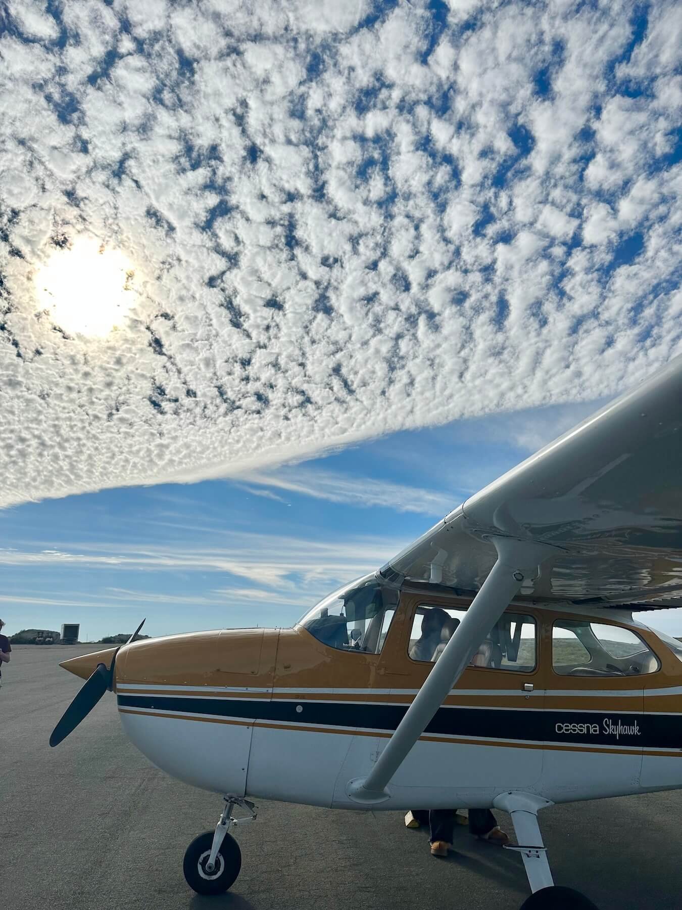
The sunny Sunday offered a warm welcome for a day of flying and hiking. Our crew of four: Kevin, Karla, David, and myself, preflighted and packed the Cessna 172 in the early morning. We departed Fullerton Municipal Airport (KFUL) at 9am and flew out of the populated cities covering the coast of Southern California to the tranquil life that Catalina Island has to offer, directly to Avalon Airport (KAVX).
The approach at KAVX is infamous among pilots, its runway spanning 3,000ft at a 1.8% up slope from the landing runway 22. We set up to enter the traffic pattern by flying over the town of Two Harbors then toward the Airport in the Sky for a 45-degree entry for the right downwind for 22. Turning base to final is a recipe for confusion and illusions. The runway begins after a sharp cliff and only the runway length spans before another cliff awaits at the end of the runway. Avoid a high approach, don’t get too low, be ready to go-around.
Landing at Catalina Island
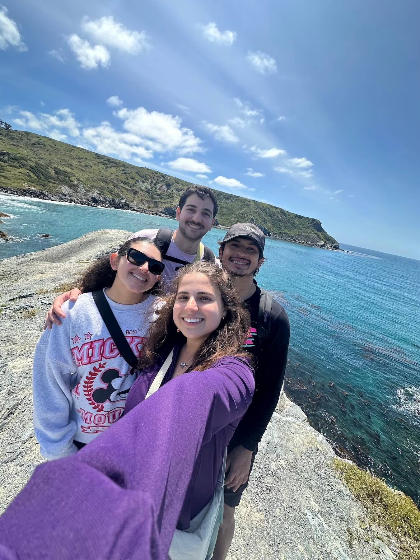
Selfie with crew members
After a safe landing and taxi we secured up our aircraft and headed into the airport cafe for our well earned Killer Cookies! The Airport is maintained by the Catalina Island Conservancy and requires pilots to pay a landing fee of $38 for single-engine aircraft. Being a frequent flyer to Catalina, I personally have a Aero-Friend membership that waives the landing fee for a year of membership.